
Local time Friday 11:14 AM | Elevation 16 m | |
 | ||
Weather 10°C, Wind W at 16 km/h, 59% Humidity | ||
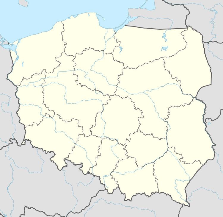
Gostkowice [ɡɔstkɔˈvit͡sɛ] (German Gerlachsthal) is a village in the administrative district of Gmina Bogdaniec, within Gorzów County, Lubusz Voivodeship, in western Poland. It lies approximately 8 kilometres (5 mi) south of Bogdaniec and 18 km (11 mi) south-west of Gorzów Wielkopolski.
Map of Gostkowice, Poland
Before 1945 the area was part of Germany (see Territorial changes of Poland after World War II). After World War II the region was placed under Polish administration and ethnically cleansed according to the post-war Potsdam Agreement. The native German populace was expelled and replaced by Poles.
References
Gostkowice, Lubusz Voivodeship Wikipedia(Text) CC BY-SA