
3-digit postal code prefix 842 Local time Friday 8:45 AM | Time zone WAT (UTC+1) Area 1,704 km² | |
 | ||
Weather 26°C, Wind E at 11 km/h, 9% Humidity | ||
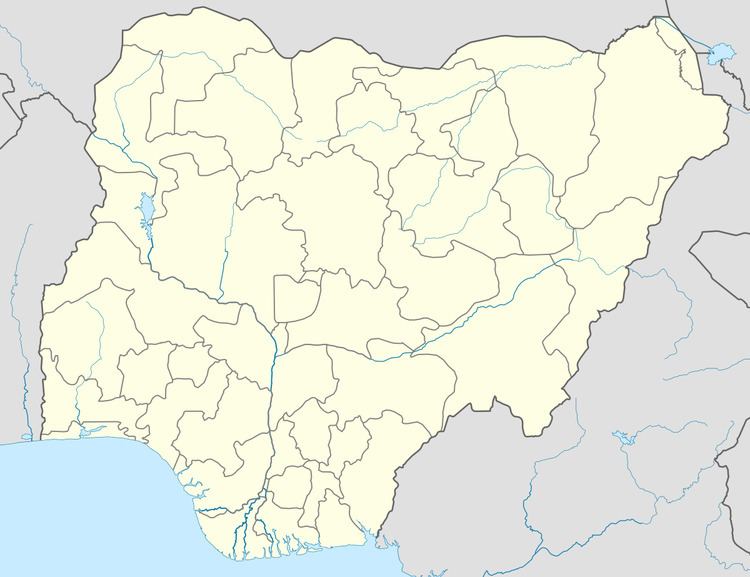
Goronyo is a Local Government Area in Sokoto State, Nigeria. Its headquarters are in the town of Goronyo, on the Sokoto River. It has an area of 1,704 km² and a population of 182,296 at the 2006 census. The postal code of the area is 842.
Map of Goronyo, Nigeria
The LGA is the location of the Goronyo Dam, upstream of Goronyo town to the east.
References
Goronyo Wikipedia(Text) CC BY-SA