
Local time Friday 6:19 AM | Town of district significance Gorbatov | |
 | ||
Municipal district Pavlovsky Municipal District Weather 0°C, Wind SE at 6 km/h, 88% Humidity | ||
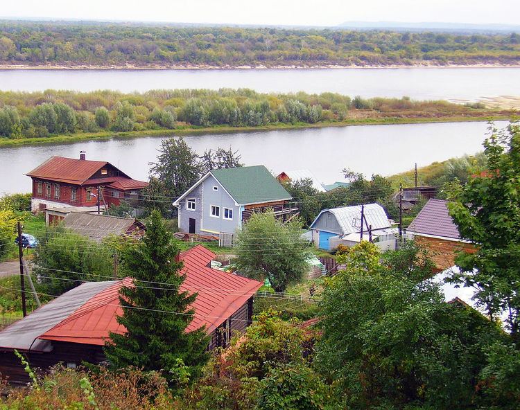
Gorbatov (Russian: Горба́тов) is a town in Pavlovsky District of Nizhny Novgorod Oblast, Russia, located on the bank of the Oka River in the Meshchera Lowlands. Population: 2,278 (2010 Census); 2,662 (2002 Census); 3,552 (1989 Census).
Contents
- Map of Gorbatov Nizhny Novgorod Oblast Russia 606125
- History
- Administrative and municipal status
- References
Map of Gorbatov, Nizhny Novgorod Oblast, Russia, 606125
History
The region was settled by the Meshchera tribe during the Middle Ages. The village of Gorbatovo (Горбатово) was first documented in 1565 as a votchina of Prince Alexander Gorbaty-Shuysky after whom it takes its name. Its growth was owing to the manufacture of ropes and cherry cultivation. In 1779, Gorbatovo was merged with Meshchera sloboda and chartered as a town. Modern Gorbatov is one of Russia's smallest towns.
Administrative and municipal status
Within the framework of administrative divisions, it is, together with sixteen rural localities, incorporated within Pavlovsky District as the town of district significance of Gorbatov. As a municipal division, the town of district significance of Gorbatov is incorporated within Pavlovsky Municipal District as Gorbatov Urban Settlement.