
Country India District Anantapur Time zone IST (UTC+5:30) Elevation 642 m Area code 08556 | State Andhra Pradesh Talukas Hindupur PIN 515231 Population 24,586 (2011) Local time Friday 8:43 AM | |
 | ||
Weather 27°C, Wind SW at 11 km/h, 62% Humidity | ||
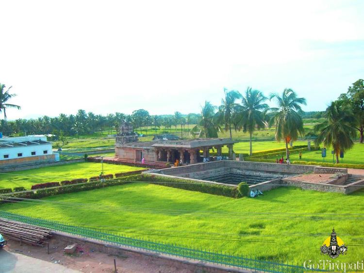
Gorantla is a village and a mandal in Anantapur district in the state of Andhra Pradesh in India.
Contents
Map of Gorantla, Andhra Pradesh 515231
Geography
Gorantla is located at 13.9892°N 77.7703°E / 13.9892; 77.7703. It has an average elevation of 642 metres (2109 ft).
Demographics
According to Indian census, 2011, the total population of the village is 24,586, of which males were 12,331 and females were 12,255. Households. Children under 6-years of age include 2,845. Average literacy rate is 62.79%.
References
Gorantla, Anantapur district Wikipedia(Text) CC BY-SA