
District Hooghly Elevation 17 m Local time Friday 7:58 AM | Time zone IST (UTC+5:30) Vehicle registration WB Population 4,688 (2011) | |
 | ||
Weather 22°C, Wind SW at 8 km/h, 67% Humidity | ||
Gopinathpur is a census town in Purbasthali I CD Block in Kalna subdivision of Barddhaman district in the Indian state of West Bengal.
Contents
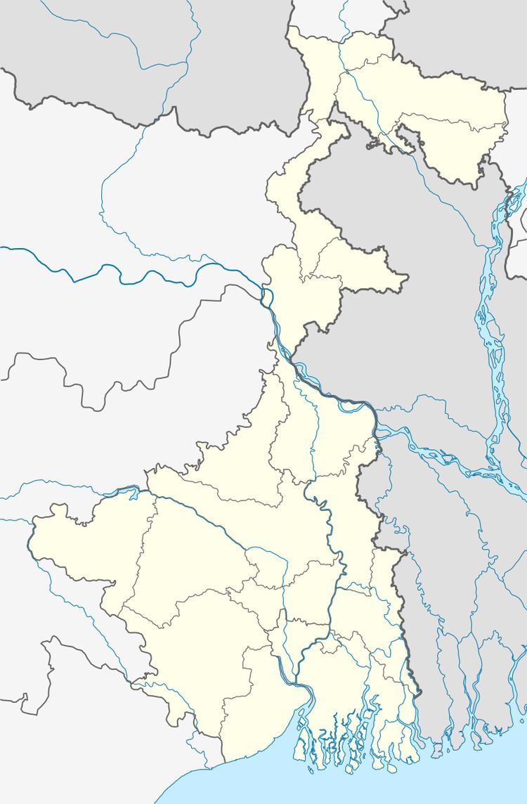
Map of Gopinathpur, West Bengal
Geography
Gopinathpur is located at 22.8156°N 88.0528°E / 22.8156; 88.0528. It has an average elevation of 17 metres (55 feet).
Gopinathpur is located on the agriculturally rich alluvial plains between the Bhagirathi, Ajay and Damodar rivers. Temperatures in this region varies from 17-18 °C in winter to 30-32 °C in summer.
Demographics
As per the 2011 Census of India Gopinathpur had a total population of 4,688, of which 2,498 (53%) were males and 2,190 (47%) were females. Population below 6 years was 398. The total number of literates in Gopinathpur was 3,616 (84.29% of the population over 6 years).
As of 2001 India census, Gopinathpur had a population of 4,983. Males constitute 53% of the population and females 47%. Gopinathpur has an average literacy rate of 68%, higher than the national average of 59.5%: male literacy is 74%, and female literacy is 62%. In Gopinathpur, 12% of the population is under 6 years of age.
Education
Gopinathpur has two primary schools.