
Vehicle registration OD Elevation 6 m | Time zone IST (UTC+5:30) Website odisha.gov.in | |
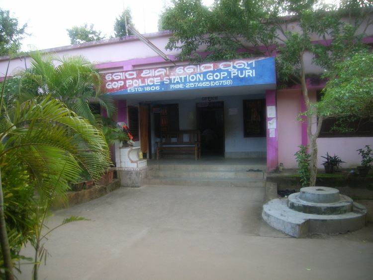 | ||
Gop (also known as "Gope") is a town and a NAC under jurisdiction of Puri district in the Indian state of Orissa. It is one of the main block covered under Puri district. It is famous for the Sun temple, Kathiawar (5th and 6th century AD) comprises square sanctum circumscribed by double courtyards. The important villages like Biratunga(Swami Nigamananda's Ashram of Nilachala Saraswata Sangha, Puri is located here), Begunia, Nimapara, Nagapur, Kakatpur, Bhaimapur, Ganeswarpur, Kusabhadra surround Gop.
Contents
Map of Gop, Odisha 752110
Geography
Gop is located at 20.00°N 86.01°E / 20.00; 86.01. It has an average elevation of 6 metres (20 ft).
It is about thirty kilometres from Puri, at the junction where the Konark road branches from the Bhubaneswar to Puri road.
Politics
Gop is part of Jagatsinghpur (Lok Sabha constituency).