Population 60 (est) Local time Friday 12:43 PM | Postcode(s) 3888 Postal code 3888 | |
 | ||
Location 434 km (270 mi) E of Melbourne146 km (91 mi) NE of Bairnsdale53 km (33 mi) N of Orbost65 km (40 mi) S of Delegate (NSW) Weather 20°C, Wind S at 8 km/h, 68% Humidity | ||
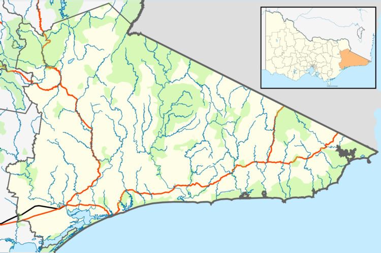
Goongerah is a community on the Brodribb River, located in Gippsland, Australia, near Mount Ellery. The town's population is about sixty.
Map of Goongerah VIC 3888, Australia
Goongerah Post Office opened on 21 November 1952 and closed in 1974. Goongerah has one of the smallest primary schools in Victoria, with about 11 students.
Goongerah is home to GECO (the Goongerah Environment Centre Office), which is dedicated to conserving and managing the Old Growth Forests in East Gippland such as Goolengook.
References
Goongerah, Victoria Wikipedia(Text) CC BY-SA
