
Population 295 (2011 census) State electorate(s) CootamundraOrange Mean min temp Annual rainfall Elevation 270 m Local time Friday 12:35 PM | Postcode(s) 2805 Mean max temp Mean min temp 43.2 °C -3.7 °C Postal code 2805 | |
 | ||
Weather 31°C, Wind E at 23 km/h, 39% Humidity | ||
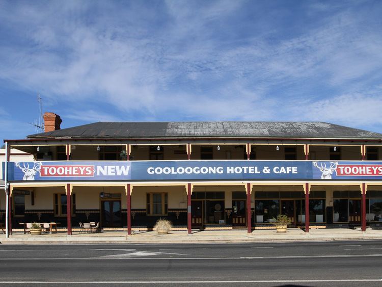
Gooloogong is a village located in central New South Wales, Australia. At the 2011 census, Gooloogong and the surrounding area had a population of 295.
Map of Gooloogong NSW 2805, Australia
Gooloogong is mostly in Cowra Shire, although some of it is in Forbes Shire. The village is located midway between the towns of Cowra and Forbes on the Lachlan Valley Way. It is close to the historic township of Canowindra and the Lachlan River flows nearby.
Used initially for a time by William Redfern Watt, wealthy pastoralist, nephew of Dr. William Redfern and superintendent of the late Dr.'s estates, 'Goolagong Station' became a pastoral lease held by Irish convict emancipist Edmond Sheahan who squatted when the new district of Lachlan was established. Goolagong was originally 22,400 acres on which Sheahan ran cattle and remained until his death in 1861 - the year the Robertson Land Act. ended pastoral leases and opened the land to freeholders. With the advent of new settlers a town soon became established. Devastated after a severe flood the town was re-established a little further, and higher to the east. Little is left at that location as the settlement was relocated to escape flooding. Gooloogong is known for its log cabin hall.
The village has a successful local market held on the second Sunday of each month at the log cabin hall