
Postcode(s) 6725 Mean max temp Mean min temp 32.2 °C 21.2 °C Postal code 6725 | Mean min temp Annual rainfall Elevation 19 m | |
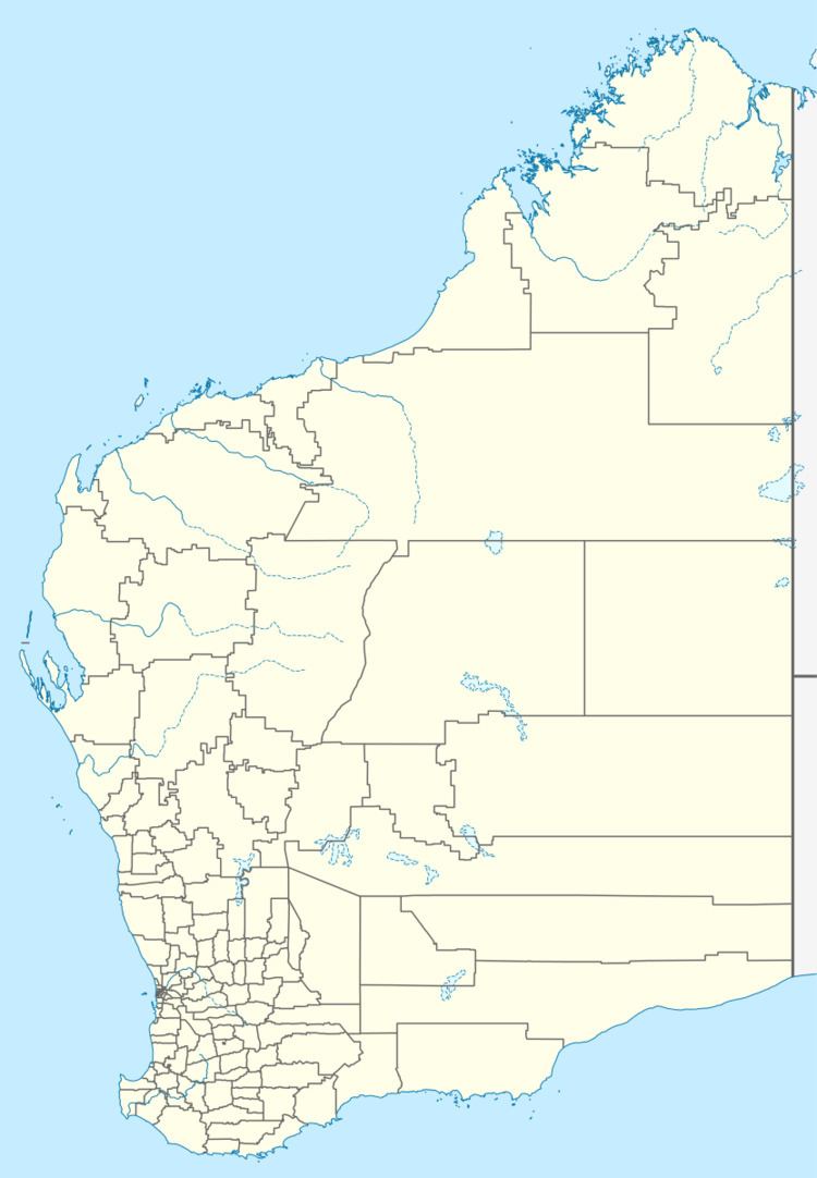 | ||
Location 12 km (7 mi) north of Broome, Western Australia | ||
Goolarabooloo Millibinyarri is a small Aboriginal community, located 12 km north of Broome in the Kimberley Region of Western Australia, within the Shire of Broome.
Contents
Goolarabooloo Millibinyarri is located north of Broome along the coast, in a locality known as Coconut Wells.
Coconut Wells is a small rural living subdivision with about 30 lots. The area was originally established in the 1970s with thoughts of becoming a plantation area, however this did not eventuate due to a lack of available water.
Native title
The community is located within the Determined area of the Rubibi Community (WAD6006/1998, WAD223/2004) native title claim.
Governance
The community is managed through its incorporated body, Goolarabooloo / Millibinyarri Indigenous Corporation, incorporated under the Corporations (Aboriginal and Torres Strait Islander) Act 2006 on 16 July 2009.
Town planning
Goolarabooloo Millibinyarri Layout Plan No.1 has been prepared in accordance with State Planning Policy 3.2 Aboriginal Settlements. Layout Plan No.1 was endorsed by the community on 20 December 2002 and the Western Australian Planning Commission (WAPC) on 3 August 2005.
The Layout Plan map-set and background report can be viewed at Planning Western Australia's official site - Goolarabooloo Millibinyarri Layout Plan.