
- elevation 0 ft (0 m) | - elevation 1,258 ft (383 m) | |
 | ||
Mouths | ||
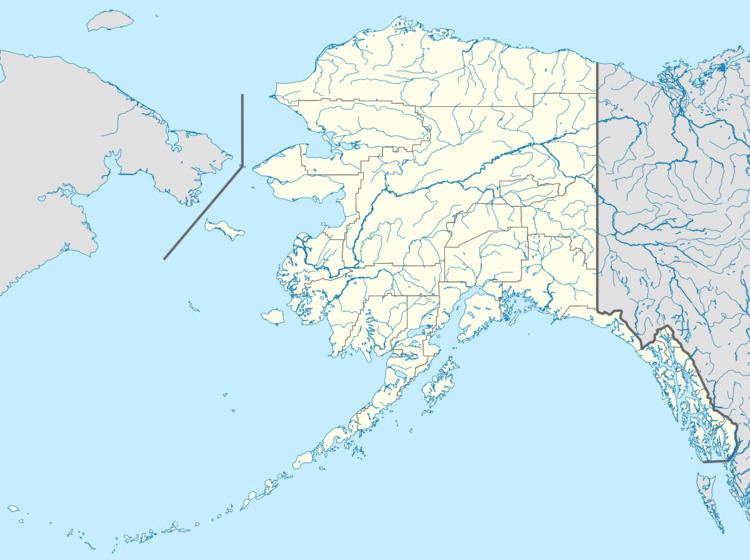
The Goodhope River is a stream, 46 miles (74 km) long, on the Seward Peninsula in the U.S. state of Alaska. It heads about 5.3 miles (8.5 km) west-southwest of Cloud Lake and flows generally northeast to Goodhope Bay on Kotzebue Sound of the Chukchi Sea. The river mouth is about 27 miles (43 km) west of Cape Deceit and Deering in the Northwest Arctic Borough. The entire course of the river lies within the Bering Land Bridge National Preserve.
Map of Goodhope River, Alaska, USA
The river name derives from "Goodhope Bay". Explorer Otto von Kotzebue assigned the name to the bay, which he visited in 1816, because he had good hope of making important geographic discoveries in the region. The river's Inupiat name was reported in 1998 as Pittam Kuurua.
References
Goodhope River Wikipedia(Text) CC BY-SA