
Country United States Time zone CST (UTC-6) Elevation 186 m Population 376 (2010) | Established November 6, 1849 ZIP codes 60420, 60424, 60444 Area 92.62 km² Local time Thursday 6:26 PM | |
 | ||
Weather 6°C, Wind S at 13 km/h, 45% Humidity | ||
Goodfarm Township is one of seventeen townships in Grundy County, Illinois, USA. As of the 2010 census, its population was 376 and it contained 141 housing units.
Contents
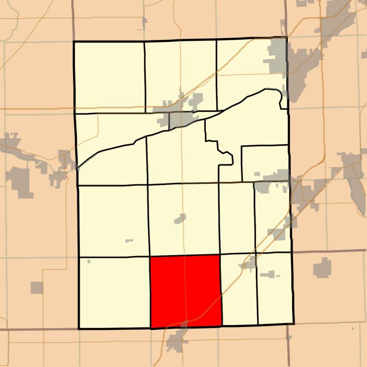
- Map of Goodfarm Township IL USA
- Geography
- Cities towns villages
- Cemeteries
- Major highways
- Airports and landing strips
- Political districts
- References
Map of Goodfarm Township, IL, USA
Geography
According to the 2010 census, the township has a total area of 35.76 square miles (92.6 km2), of which 35.62 square miles (92.3 km2) (or 99.61%) is land and 0.14 square miles (0.36 km2) (or 0.39%) is water.
Cities, towns, villages
Cemeteries
The township contains Goodfarm Cemetery.
Major highways
Airports and landing strips
Political districts
References
Goodfarm Township, Grundy County, Illinois Wikipedia(Text) CC BY-SA