
Canton Lanvollon Area 11.83 km² | Arrondissement Saint-Brieuc Intercommunality Lanvollon Plouha Local time Thursday 5:00 PM | |
 | ||
Weather 9°C, Wind N at 11 km/h, 97% Humidity | ||
Gommenec'h (Breton: Gouanac'h) is a commune in the Côtes-d'Armor department of Brittany in northwestern France.
Contents
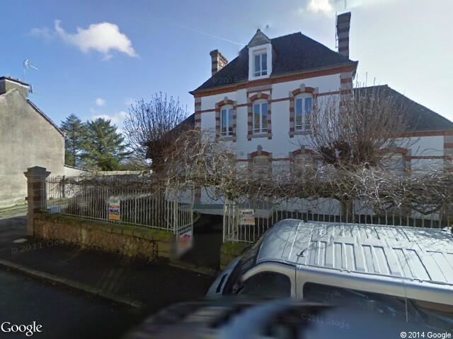
Map of 22290 Gommenec'h, France
Population
Inhabitants are called gommenechois in French.
Etymology
Breton Etymology: gou (under) and menec'h (monks)
Geography - Economy
This agricultural village, is situated at 13 km (8.1 mi) of magnificent touristic beaches of "La Manche".
Hamlets: Kerampalier, Kerbalan, Kerbillion-Bihan, Kerdoret, Kerdouanec, Kerhuel, Kerilis, Villepierre, Pors-Hamonet, Kervenou, Kermovezen, Kervernier, kerbars, Kerolland, Kergaff, Kerloas, Kerien, Kervily, Kerbost, Guern-Bras, le Guily, la Ville-Basse, la Trinité, Lochrist, Traou-Morvan, Traou-Gouziou, Traou-Hamon, Traou-Bistihou.
Gommenec'h is surrounded by four rivers: le Leff, le Gouazel, le Roz and le Goas Mab.
Sights
The chapel of Douannec dating from the sixteenth century, with statues of the Virgin and Child, Saint Pierre, and Saint Eutrope in polychrome wood.
The church of Saint Guy with a wooden statue of Saint Joran.
The fountain of Saint Guy: eighteenth century granite fountain.