
Elevation 1,400 m | Time zone EAT (UTC+3) Local time Thursday 5:05 PM | |
 | ||
Weather 24°C, Wind SE at 6 km/h, 76% Humidity | ||
Goli, Uganda, often referred to simply as Goli, is a town in the Northern Region of Uganda.
Contents
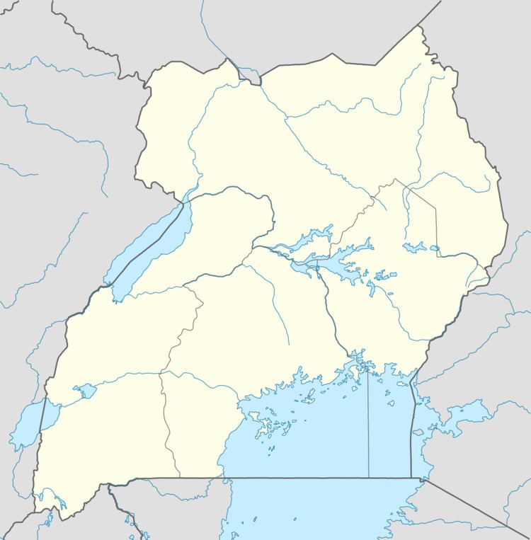
Map of Goli, Uganda
Location
Goli is located in Nebbi District, West Nile sub-region, The town is at the international border with the Democratic Republic of the Congo. It is approximately 95 kilometres (59 mi), by road, south-east of Arua, the largest town in the sub-region. This location is approximately 440 kilometres (270 mi), by road, north-west of Kampala, the capital and largest city of Uganda. The district headquarters, at Nebbi are located about 15 kilometres (9 mi), by road, north-east of Goli. The coordinates of the town are: 2°23'14.0"N, 31°01'35.0"E (Latitude:2.387222; Longitude:31.026389).
Overview
The small town of Goli, Uganda is located on the main road between Arua on the Ugandan side and Bunia, the capital of Ituri Province in the DRC. In 2009, Goli was one of the locations of disagreements between Uganda and the DRC over their international border. The two countries selected a review commission to study the problem and report to the two governments.
Landmarks
The landmarks within the town limits or close to the edges of town include: