
 | ||
Goldboro is a Canadian rural community in Guysborough County, Nova Scotia.
Contents
Map of Goldboro, NS, Canada
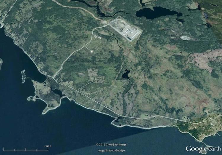
Located on the Eastern Shore along Route 316, Goldboro is approximately 16 kilometres west of the shire town of Guysborough.
In 1861 gold was discovered in quartz veins on the Isaac's Harbour anticline to the east of the community. In 1892, Howard Richardson was the first to note gold within shale and quartz veins which became generally known as the Boston Richardson Belt. Mining on the property began in 1892 when the Richardson Gold Mining Company started developing the belt and continued until 1912.
At present Orex Exploration is conducting an extensive exploration program for gold in the surrounding areas including the former Boston Richardson Mine, Dolliver Mountain Mine, West Goldbrook Mine and East Goldbrook Mines.
During the late 1990s, Goldboro was selected as the eastern terminus for the Maritimes & Northeast Pipeline which connects to the Sable Offshore Energy Project (SOEI) gas plant. Goldboro has been marketed as the energy hub of Nova Scotia, and is expected to be the site of an LNG export terminal by 2018.