
Country United States FIPS code 32-28500 Area 23.4 km² Local time Wednesday 10:38 PM | Time zone Pacific (PST) (UTC-8) Reference no. 105 Population 214 (2010) | |
 | ||
Weather 14°C, Wind W at 13 km/h, 40% Humidity | ||
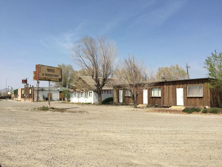
Golconda is a census-designated place in southeastern Humboldt County, Nevada, United States. As of the 2010 census it had a population of 214. It is located along Interstate 80 on the Humboldt River in the northwestern part of the state.
Contents
Map of Golconda, NV 89414, USA
It was named for the ancient diamond mining center of Golkonda in India.
History
Golconda was established when discovery of copper, silver, gold, and lead brought entrepreneurs who opened mines and mills in the district. The town was a diverse society including both native-born European Americans as well as other groups including individuals of French, Portuguese, Paiute, and Chinese descent who all lived and worked in the small community. During 1898-1910, the town had a train depot, several hotels, a school, businesses, newspapers, and two brothels. Its population peaked at about six hundred in 1907-08. Although boosters predicted growth for Golconda, after 1910 the mines played out, leaving the region as an area of ranches and farms. Most of the town's buildings from its mining heyday are gone, and Golconda today is a minor stop on Interstate 80.
Geography
The community lies at an elevation of approximately 4,350 feet (1,330 m) 12 mi (19 km) east of Winnemucca across the Sonoma Range and 5.7 mi (9.2 km) west of Golconda Summit, a nearby mountain pass on Edna Mountain. The Osgood Mountains lie across the Humboldt River to the north. A post office is located in the community.
According to the United States Census Bureau, the Golconda CDP has an area of 9.0 square miles (23.4 km2), all land.