
Population 496 (2011 census) County Buccleuch Elevation 199 m Local time Thursday 9:32 AM | Postcode(s) 2727 Postal code 2727 Lga Gundagai Shire | |
 | ||
Location 16 km (10 mi) from Coolac27 km (17 mi) from Adjungbilly Weather 22°C, Wind NE at 2 km/h, 87% Humidity | ||
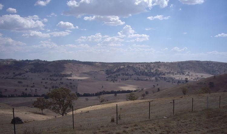
Gobarralong is a rural community in the central east part of the Riverina. It is situated about 16 kilometres southeast from Coolac and 27 kilometres northwest from Adjungbilly. At the 2011 census, Gobarralong and the surrounding area had a population of 199 people.
Map of Gobarralong NSW 2722, Australia
North Gobarralong Post Office opened on 1 November 1876, was renamed Gobarralong in 1909, and closed in 1967.
References
Gobarralong Wikipedia(Text) CC BY-SA