
River mouth Yazva River Length 234 km Mouth Yazva River | Basin size 1,740 km (670 sq mi) Source Solikamsky District Country Russia | |
 | ||
Main source Solikamsky District, Perm Krai | ||
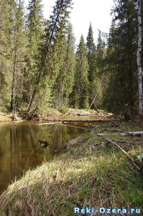
Glukhaya Vilva (Russian: Глухая Вильва) is a river in Perm Krai, Russia, a left tributary of the Yazva River. It is 234 kilometres (145 mi) long, and its drainage basin covers 1,740 square kilometres (670 sq mi). It starts to the north of the uninhabited village of Talaya and flows through Solikamsky and Krasnovishersky districts. Its mouth is upstream of the settlement Kotomysh. There are many swamps near the river.
Map of r. Glukhaya Vilva, Permskiy Kray, Russia
Main tributaries:
References
Glukhaya Vilva River Wikipedia(Text) CC BY-SA