
Country Albania Administrative Unit Pustec Time zone CET (UTC+1) Population 294 (2000) Municipal unit Pustec Municipality | County Korçë Elevation 879 m (2,884 ft) Local time Wednesday 12:22 AM Municipality Pustec Municipality | |
 | ||
Weather 2°C, Wind NE at 2 km/h, 80% Humidity | ||
Glloboçeni (Macedonian: Глобочени) is a village on Lake Prespa in the Pustec Municipality of the Korçë County in Albania.
Contents
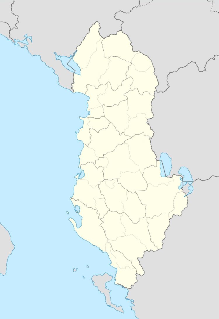
Map of Globoceni, Albania
Geography
Glloboçeni is situated on the western shore of the Greater Prespa Lake at an altitude of 879 meters (2884 feet) above sea level. The nearest settlement to the north is Dolna Gorica and to the south is Šulin.
History
The "La Macédoine et sa Population Chrétienne" survey by Dimitar Mishev (D. Brankov) from 1905 shows that the inhabitants of the village of Glubochani were in the bosom of the Patriarchate of Constantinople.
A survey by Georgi Trajčev in 1911 stated the village as having 33 houses and 319 residents.
The French linguist André Mazon, in his study on Slavic folklore in Albania from 1936, noted Glomboč as a Bulgarian village in the region of Mala Prespa.
During World War II, 24 of the village's 40 houses were burnt down.
In 2013, the village's official name was changed back from Gollomboç to Glloboçeni.
Demographics
A 2007 estimate put the village's population at 300 to 350 people.
The village is composed of ethnic Macedonians.
Culture
Glloboçeni is the nearest village to the Church of the Annunciation, a rock church situated on the Lake Prespa shore at an altitude of roughly 25 meters (80 feet). It was established in the 14th century.