
Country Argentina Area code(s) +54 11-2224 Province Buenos Aires Province Partido Almirante Brown Partido | CPA Base B 1856 Elevation 28 m Local time Tuesday 6:39 PM | |
 | ||
Website www.almirantebrown.gov.ar Weather 24°C, Wind NE at 16 km/h, 54% Humidity | ||
Glew is a city in southern Almirante Brown Partido, Buenos Aires Province, Argentina. Its municipal area of 17.65 km2 (6.81 sq mi) holds a population of 57,878 (2001 census ). It is located 34 km (21 mi) from Buenos Aires city, and connected to it by the Ferrocarril General Roca.
Contents
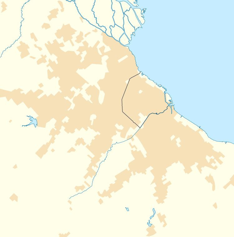
Map of Glew, Buenos Aires Province, Argentina
The city originated with the purchase of the land in 1857 by Juan Glew, who established an estancia there. He donated land for the extension of the Buenos Aires Great Southern Railway in 1865, and a permanent settlement was founded at the site on August 14 by the name of Pueblo Cambaceres (in honor of Antonio Cambaceres, a distinguished writer and legislator who owned an adjacent lot).
The Parish of St. Anne was consecrated in 1905. This small church was chosen in 1953 by a frequent summer visitor, painter Raúl Soldi, for the creation of a series of murals, and on his initiative, the Fundación Soldi was established in Glew in 1979 for the promotion of the arts.