
Population 15,325 (2011 census) Postcode(s) 2768 State electorate(s) Riverstone Postal code 2768 | Established 1996 Founded 1996 Local time Wednesday 8:34 AM | |
 | ||
Weather 20°C, Wind E at 14 km/h, 98% Humidity | ||
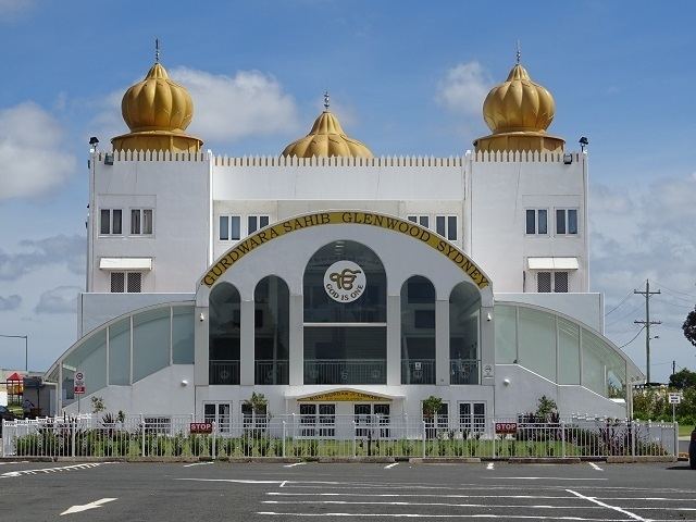
Glenwood is a suburb of Sydney, in the state of New South Wales, Australia. Glenwood is located 33 kilometres north-west of the Sydney central business district in the local government area of the City of Blacktown. Glenwood is part of the Greater Western Sydney region.
Contents
- Map of Glenwood NSW 2768 Australia
- History
- Population
- Transport
- Schools
- Valentine Sport Park
- Sporting clubs
- Rugby League
- Netball
- Association Football
- Rugby Union
- References
Map of Glenwood NSW 2768, Australia
History
Glenwood takes its name from an historic property in the area, named 'Glenwood Park' in the 1940s, but previously known as Norfolk Vale (1846-1882), and Sorrento (1882-1941). It was formally recognised as a suburb in 1996.
It is noted as the first site to be developed within the Rouse Hill Development area.
Population
At the 2011 census, there were 15,325 residents in Glenwood. The population was younger than average, with a median age of 32, and 26.6% of people aged 14 years and under. Just over half of people were born in Australia, with the top other countries of birth being India 9.5%, Philippines 5.1% and Sri Lanka 2.5%. Almost half of residents spoke a language other than English at home. These languages included Punjabi 6.7%, Hindi 5.4% and Tagalog 3.1%. Most dwellings were separate houses and these tended to be large, with 81.6% having 4 or more bedrooms.
Transport
The Westlink M7 Motorway runs along the southern border of the suburb and provides a link to the M2 Hills Motorway. Old Windsor Road borders the suburb to the east & Sunnyholt Rd borders the suburb to the west & north.
Hillsbus provides services to Rouse Hill (602X, 607X, 617X, T63, T64, T65, T66 - note that the 617X does not stop at the Rouse Hill Town Centre, rather, it terminates at Adelphi St, 607X services proceed to Rouse Hill Town Centre), Parramatta (T63, T64, T65, T66), North Sydney (602X) and Sydney CBD (607X, 616X, 617X) whilst Busways provides regular services to Norwest Business Park (T70), Blacktown (T70), Castle Hill (T70, 745) and Macquarie Park (740).
The suburb is serviced by Burns and Sorrento stations on the Blacktown-Parklea branch of the North-West T-way, and Burns, Balmoral, Celebration, Meurants and Norbrik stations on the Rouse Hill-Parramatta section of the T-way.
Glenwood will be served by Bella Vista railway station on the future North West Rail Link, to be operational by the end of 2019, providing high frequency services towards Macquarie Park and Chatswood.
Schools
Glenwood High School, Caddies Creek Public School, Parklea Public School and Holy Cross Primary School.
Valentine Sport Park
Valentine Sport Park, at which the headquarters of Football NSW are located, in Glenwood is a multipurpose sporting complex which caters for various groups, as well as individuals.
Sporting clubs
Sporting clubs in the Glenwood suburb include: