Country United States ZIP code 97403 Local time Tuesday 2:34 PM | Time zone Pacific (PST) (UTC-8) Area code(s) 458 and 541 | |
 | ||
Weather 15°C, Wind S at 8 km/h, 83% Humidity | ||
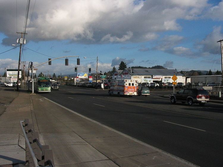
Glenwood is an unincorporated community in Lane County, Oregon, United States. Located between the cities of Springfield and Eugene, on the route of the former Pacific Highway, which is now named Franklin Boulevard. Glenwood is in Springfield's annexation and has a Eugene postal address.
Contents
Map of Glenwood, OR 97403, USA
History
In the past, Glenwood was an agricultural area with bean fields and fruit tree orchards. The town has a significant amount of real estate properties located on the Willamette River.
Bus
The Emerald Express (EmX) is an express bus rapid transit (BRT) bus service that runs between Eugene and Springfield, and has three stops in Glenwood. On weekdays, bus service runs from approximately from 6:00am to 11:00pm, with lesser stops during weekends.
References
Glenwood, Lane County, Oregon Wikipedia(Text) CC BY-SA
