
Country United States FIPS code 51-31488 Elevation 332 m Population 976 (2010) Area code 540 | Time zone Eastern (EST) (UTC-5) GNIS feature ID 1494959 Zip code 24153 Local time Tuesday 5:20 PM | |
 | ||
Weather 1°C, Wind NW at 34 km/h, 58% Humidity | ||
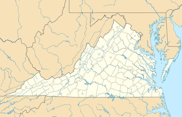
Glenvar is a census-designated place (CDP) in western Roanoke County, Virginia, United States. The population as of the 2010 Census was 976. The center of the community lies along US 11/US 460 about one mile west of the Salem city limits. The community is home to Glenvar High School which serves most of the western sections of Roanoke County. As a result, the entire area of Roanoke County which is west of Salem and in the Roanoke Valley between Poor Mountain and Fort Lewis Mountain, including other communities such as Wabun, Fort Lewis, and Dixie Caverns, is often called Glenvar.
Map of Glenvar, VA 24153, USA
References
Glenvar, Virginia Wikipedia(Text) CC BY-SA