Established 1999 Founded 1999 Local time Wednesday 5:51 AM | Postcode(s) 5291 Glenburnie Mumbannar Postal code 5291 | |
 | ||
Weather 20°C, Wind NE at 14 km/h, 56% Humidity | ||
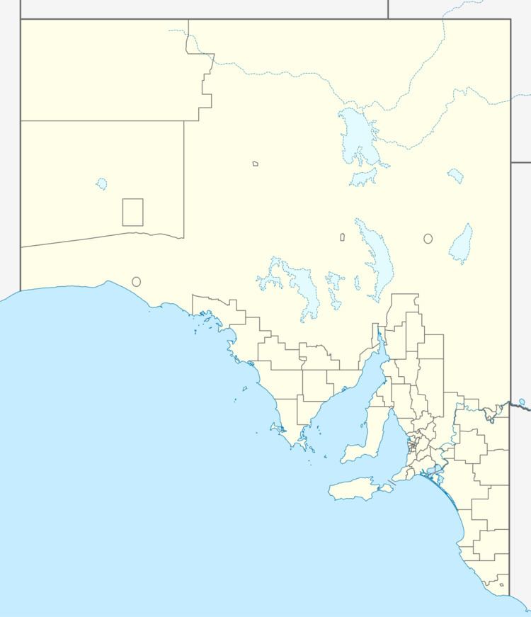
Glenburnie is a locality in South Australia located in the southeastern corner of the state. It extends from the urban eastern outskirts of the city of Mount Gambier in the west to the state border with Victoria in the east.
Map of Glenburnie SA 5291, Australia
Its boundaries were created in 1999 for the "long established name" which derives from an early homestead in the area.
The Mount Gambier Racecourse, Borderline Speedway and McNamara Park motorcycle and kart racing tracks are all in Glenburnie.
The Glenelg Highway branches off from the Princes Highway in Glenburnie.
Glenburnie is located within the federal Division of Barker, the state electoral district of Mount Gambier and the local government area of the District Council of Grant.
References
Glenburnie, South Australia Wikipedia(Text) CC BY-SA
