
Type Road Former
route number National Highway 1 | Route number(s) A1 Length 7 km | |
 | ||
Northwest end Greenhill Road (A21), Eastwood Southeast end South Eastern Freeway (National Highway M1), Glen Osmond Major suburbs Parkside, Eastwood, Fullarton, Frewville, Myrtle Bank, Glen Osmond Major cities Fullarton, Parkside, Glen Osmond, Frewville | ||
Glen Osmond Road is a major state Highway 1 road in the city of Adelaide, South Australia. Connecting the Adelaide city centre with the Adelaide Hills via the South Eastern Freeway; Glen Osmond Road carries half of Adelaide's freight traffic and is the major commuter route from the southern Adelaide Hills. It has intersections at Greenhill Road, Fullarton Road, Cross Road and Portrush Road.
Contents
Map of Glen Osmond Rd, South Australia, Australia
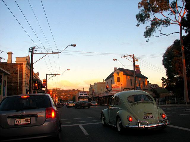
Glen Osmond Road houses a strip shopping precinct on the section between Greenhill and Fullarton Roads. The precinct is largely populated by independent boutiques. It is a community main street stationed in the leafy suburbs of Adelaide’s south east. It was earlier known as "The Gateway" because of its connection between the Adelaide CBD and Hills.
Glen Osmond Road Precinct Association
The Glen Osmond Road Precinct Association (GORPA) is an association guiding the growth and development of Glen Osmond Road and marketing the local business community. GORPA is funded by an exclusive rate applied to properties on the City of Unley side of Glen Osmond Road.
Glen Osmond Road forms the boundary of two Council areas — the City of Unley and City of Burnside. The councils work together to promote the local community. Each council has staff dedicated for Business and Economic Development.