
- summer (DST) CDT (UTC-5) Local time Tuesday 1:12 PM Postal code 62034 | Population 12,947 (2013) Area code 618 | |
 | ||
Weather -2°C, Wind N at 23 km/h, 77% Humidity Area 26.37 km² (26 km² Land / 39 ha Water) | ||
Glen Carbon is a village in Madison County, Illinois, United States, 19 miles (31 km) northeast of St. Louis. The population was 12,934 at the 2010 census.
Contents
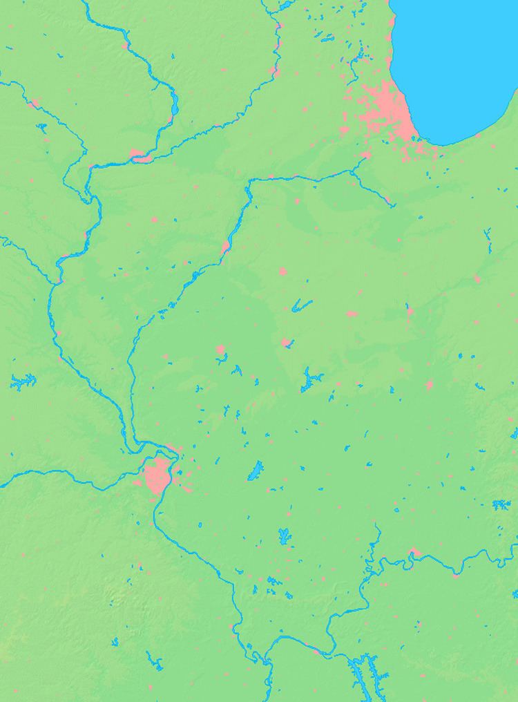
- Map of Glen Carbon IL USA
- History
- Geography
- Demographics
- Parks and recreation
- Miner Park
- Citizen Park
- Village Hall Park
- Education
- Notable person
- References
Map of Glen Carbon, IL, USA
History
In 1801, Colonel Samuel Judy received a military grant for 100 acres (0.40 km2) of land near the base of the bluffs, just north of Judy Creek, and became one of the first permanent settlers of Madison County. The land was called Goshen Settlement, after the biblical land of Goshen. It was renamed Glen Carbon to reflect its coal mining heritage. Glen Carbon was incorporated as a village in 1892. It operated many coal mines until the last one shut down in 1934. Another industry was the St. Louis brick company, which burned down in the 1930s; then, right after being rebuilt, it burned down and was never rebuilt again.
Three railroads once served Glen Carbon. The Illinois Central Railroad, now the Ronald J. Foster Sr. Heritage Bike Trail, became one of the first rails to trails projects in the US, in 1992. The other two lines were the Norfolk Southern line and the Chicago and North Western line, which ran parallel with each other the entire way through Glen Carbon, and stopped operating in Glen Carbon in March 2000. The Nickel Plate Bike Trail follows both of those right-of-ways, switching back and forth between the NS and CNW lines the whole way through Glen Carbon.
Geography
Glen Carbon is located at 38°45′35″N 89°58′9″W (38.759801, -89.969204).
According to the 2010 census, Glen Carbon has a total area of 10.188 square miles (26.39 km2), of which 10.04 square miles (26.00 km2) (or 98.55%) is land and 0.148 square miles (0.38 km2) (or 1.45%) is water.
Demographics
As of the census of 2000, there were 10,425 people, 4,011 households, and 2,815 families residing in the village. The population density was 1,405.5 people per square mile (542.5/km²). There were 4,236 housing units at an average density of 571.1 per square mile (220.4/km²). The racial makeup of the village was 89.09% White, 6.96% African American, 0.20% Native American, 2.12% Asian, 0.04% Pacific Islander, 0.41% from other races, and 1.17% from two or more races. Hispanic or Latino of any race were 1.50% of the population.
There were 4,011 households out of which 34.9% had children under the age of 18 living with them, 59.6% were married couples living together, 8.1% had a female householder with no husband present, and 29.8% were non-families. 22.1% of all households were made up of individuals and 7.8% had someone living alone who was 65 years of age or older. The average household size was 2.57 and the average family size was 3.06.
In the village, the population was spread out with 25.3% under the age of 18, 10.2% from 18 to 24, 30.0% from 25 to 44, 23.5% from 45 to 64, and 11.0% who were 65 years of age or older. The median age was 36 years. For every 100 females there were 94.5 males. For every 100 females age 18 and over, there were 91.5 males.
The median income for a household in the village was $55,841, and the median income for a family was $72,182. Males had a median income of $50,086 versus $31,689 for females. The per capita income for the village was $26,374. About 3.2% of families and 5.8% of the population were below the poverty line, including 5.8% of those under age 18 and 6.2% of those age 65 or over.
Parks and recreation
The Village of Glen Carbon operates three parks and the Ronald J. Foster Sr. Heritage Trail, an 11-mile (18 km) trail dedicated to the former mayor in 1991. It follows the old Illinois Central Railroad right-of-way that once served Glen Carbon.
Miner Park
Miner Park is located in the Old Town section. The entrance to the park is located between the American Legion Post and the Glen Carbon Centennial Library. This is the main park in Glen Carbon, with direct access to the Nickel Plate Bike Trail, a 15-mile (24 km) trail that follows the old Chicago & North Western and Norfolk Southern rights-of-way. The CNW & NS Railroads served Glen Carbon until March 2000.
The facilities available are:
Citizen Park
Citizen Park is located behind Fire Station #1 and off Main Street in Old Town. It serves as the entrance to the Ronald J. Foster Sr. Heritage Trail.
Facilities:
Village Hall Park
Village Hall Park is a 3-acre (12,000 m2) facility located directly behind the Village Hall at 151 North Main Street. This park is the main sporting and recreational complex in Glen Carbon.
Facilities:
Education
Glen Carbon is served by the Edwardsville Community Unit District 7 School System of elementary, middle and high school education. It is one of the top-rated school districts in Illinois, educating students since 1864.