
Quadrant NW Sector West Elevation 696 m | Ward 5 Area 178 ha Population 5,984 (2012) | |
 | ||
Restaurants Firestone Pizza & Donair, Thai Flavours, Saigon Flavours, West Side Kebab House, Dairy Queen | ||
Glastonbury is a newer residential neighbourhood in west Edmonton, Alberta, Canada.
Contents
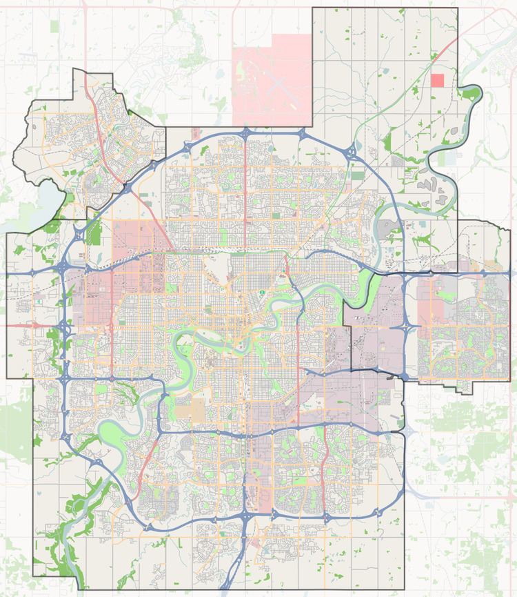
Map of Glastonbury, Edmonton, AB, Canada
According to the 2001 federal census, all residences in Glastonbury were constructed after 1995.
The most common type of residence, according to the 2005 municipal census, is the single-family dwelling. These account for approximately seven out of every ten (72%) of all residences. Another two in ten (18%) are duplexes. The remaining 9% of residences are split almost equally between row houses and apartment style condominiums in high-rise buildings with more than five stories. Almost all (98%) of residences are owner-occupied, with only two percent being rented.
The neighbourhood is bounded on the north by Whitemud Drive, on the east by Anthony Henday Drive, and on the south by 62 Avenue. Whitemud Drive provides access to destinations on the south side, including: Whyte Avenue, the University of Alberta. and Southgate Centre. The Anthony Henday provides access to destinations to the south of the city including the Edmonton International Airport.
Demographics
In the City of Edmonton's 2012 municipal census, Glastonbury had a population of 7003598400000000000♠5,984 living in 7003247400000000000♠2,474 dwellings, a 6% change from its 2009 population of 7003564600000000000♠5,646. With a land area of 1.78 km2 (0.69 sq mi), it had a population density of 7003336180000000000♠3,361.8 people/km2 in 2012.