
Country Philippines Barangays ZIP code 9517 Elevation 30 m Local time Tuesday 9:57 PM | District Lone district Time zone PST (UTC+8) Area 610.3 km² Province Sarangani | |
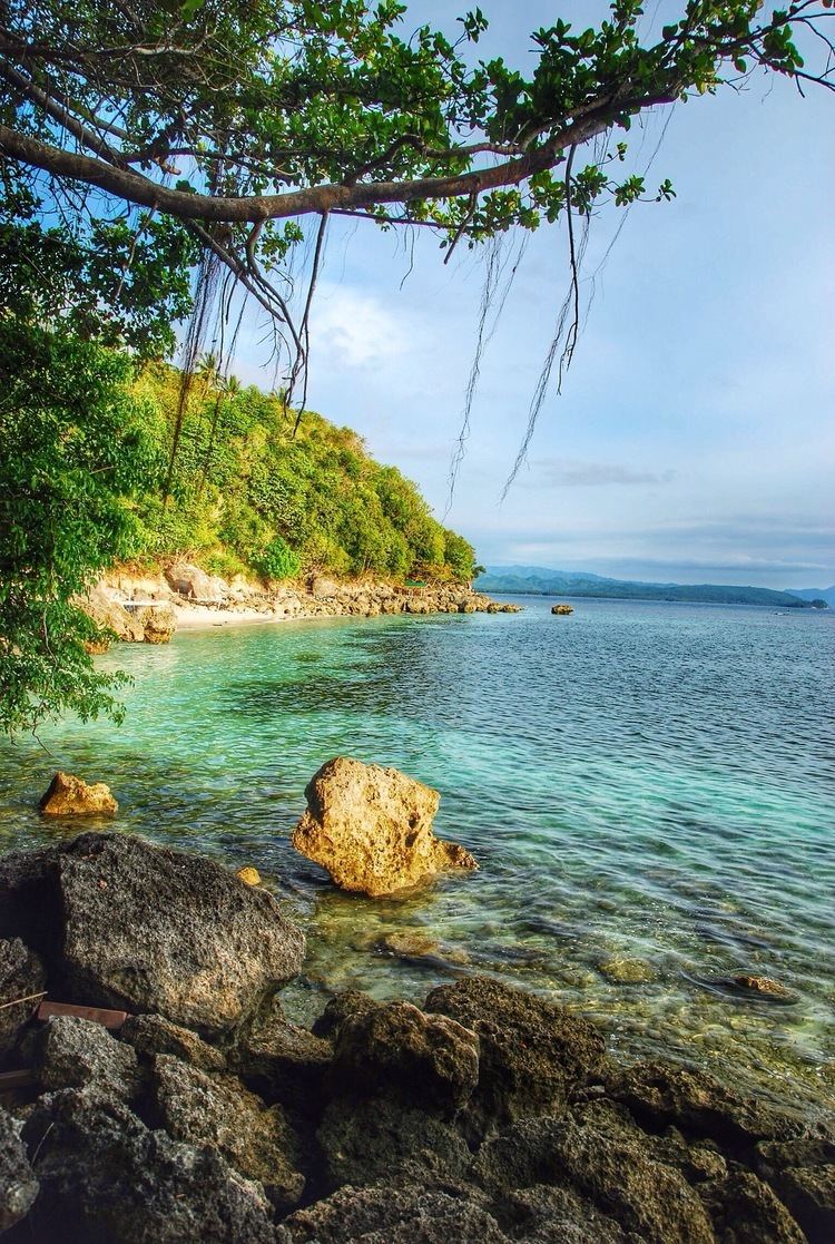 | ||
Region SOCCSKSARGEN (Region XII) Weather 26°C, Wind E at 3 km/h, 91% Humidity Points of interest Gumasa Beach, Adarna Beach Neighborhoods Big Margus, Sinabulad, Malabog, Lago, Cablallan, Burias, Batulaki, Pangyan, Klintak | ||
Glan is a first class municipality in the province of Sarangani, Philippines. According to the 2015 census, it has a population of 118,263 people.
Contents
Map of Glan, Sarangani, Philippines
Glan is located on the west by Sarangani Bay, on the north by Davao Occidental, and on the south by the Celebes Sea. It is largely based on agriculture with a high level production of copra. Aquaculture is the second biggest income earner, notably milkfish and shrimps culture. Other agricultural products are coconuts, maize, sugarcane, bananas, pineapples, mangoes, pork, eggs, beef, and fish.
The economy has accelerated in the past decade driven by advances in global communication technology and the finishing of a modern highway that tremendously improved trade and transport. It has also benefited from its political role as the seat of the provincial government.
History
After the surrender of all regular forces in the Philippines in 1942, Glan was apparently not occupied for some time by the Japanese. On May 2, 1943, 170 Japanese and supporting forces landed. These landings were fiercely contested by guerrilla forces, who, outnumbered and outgunned, retreated from the area.
Barangays
Glan is politically subdivided into 31 barangays.