
Country Philippines Time zone PST (UTC+8) Area 97.51 km² Province Eastern Samar | Barangays ZIP code 6811 Local time Tuesday 1:06 PM | |
 | ||
Region Eastern Visayas (Region VIII) Congr. district Lone district of E. Samar Weather 28°C, Wind E at 10 km/h, 82% Humidity | ||
Giporlos is a fifth class municipality in the province of Eastern Samar, Philippines. According to the 2015 census, it has a population of 13,308 people.
Contents
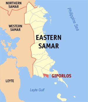
Map of Giporlos, Eastern Samar, Philippines
Formerly Giporlos was a barangay part of Municipality of Balangiga.
Legend
Giporlos comes from the word "Hi-Podolos". "Gi" (pronounce as "Hi") is referring to person (man/woman). "Podlos" means "slipped". Legend says that there is a shore called "Rawis" in Giporlos where one woman was collecting sea shells. Suddenly, one Japanese soldier saw her and tried to raped her. But the woman ("Hi") fought back until her hands slipped ("Podlos") under the hands of moro soldier and she ran away. From that time on, the place was called "Hipodlos" and eventually became Giporlos.
Barangays
Giporlos is politically subdivided into 18 barangays.
Demographics
The population of Giporlos in the 2015 census was 13,308 people, with a density of 140 inhabitants per square kilometre or 360 inhabitants per square mile.