
Area 67 ha Local time Monday 9:58 PM | Population 61 (2013) | |
 | ||
Weather 1°C, Wind N at 11 km/h, 79% Humidity | ||
Ginger Blue is an incorporated village in McDonald County, Missouri, United States. The population was 61 at the 2010 census.
Contents
Map of Ginger Blue, MO 64854, USA
Geography
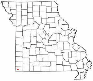
Ginger Blue is located on Route 59 about three miles south of Lanagan. It is part of the Fayetteville–Springdale–Rogers, AR-MO Metropolitan Statistical Area
According to the United States Census Bureau, the village has a total area of 0.26 square miles (0.67 km2), all of it land.
2010 census
As of the census of 2010, there were 61 people, 28 households, and 17 families residing in the village. The population density was 234.6 inhabitants per square mile (90.6/km2). There were 40 housing units at an average density of 153.8 per square mile (59.4/km2). The racial makeup of the village was 88.5% White, 1.6% African American, 1.6% Pacific Islander, 6.6% from other races, and 1.6% from two or more races. Hispanic or Latino of any race were 6.6% of the population.
There were 28 households of which 28.6% had children under the age of 18 living with them, 39.3% were married couples living together, 17.9% had a female householder with no husband present, 3.6% had a male householder with no wife present, and 39.3% were non-families. 35.7% of all households were made up of individuals and 7.2% had someone living alone who was 65 years of age or older. The average household size was 2.18 and the average family size was 2.71.
The median age in the village was 40.6 years. 16.4% of residents were under the age of 18; 13.1% were between the ages of 18 and 24; 29.4% were from 25 to 44; 36% were from 45 to 64; and 4.9% were 65 years of age or older. The gender makeup of the village was 49.2% male and 50.8% female.