
Established 1903 Elevation 413 m Postal code 6430 | Postcode(s) 6430 Founded 1903 | |
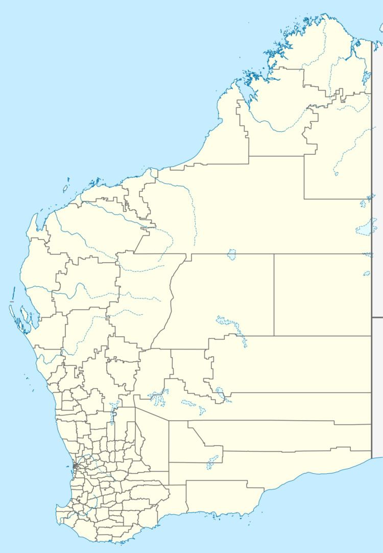 | ||
Location 650 km (404 mi) ENE of Perth55 km (34 mi) NE of Kalgoorlie Weather 26°C, Wind W at 14 km/h, 45% Humidity Lga City of Kalgoorlie-Boulder | ||
Gindalbie is an abandoned town in the Goldfields-Esperance region of Western Australia. It is situated between Kalgoorlie and Laverton along the Donkey Rocks Road.
The town's name is Aboriginal in origin and is the local name for the area. The town was gazetted on 9 September 1903. While in planning, the name of Vosperton was proposed in honour of the editor of the Coolgardie Miner, Frederick Vosper, who became the MLA for North-East Coolgardie in 1897. The planned boundaries and area of the town were changed in 1900.
References
Gindalbie, Western Australia Wikipedia(Text) CC BY-SA