
Country United States Area code(s) 276 Elevation 238 m | Time zone Eastern (EST) (UTC-5) GNIS feature ID 1492998 Local time Monday 9:20 PM | |
 | ||
Weather 2°C, Wind E at 10 km/h, 94% Humidity | ||
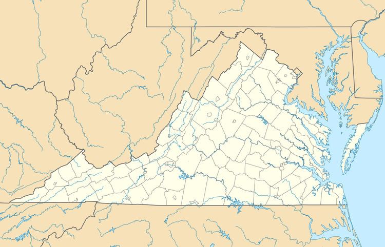
Gilmore Mills is an unincorporated community in Rockbridge County, Virginia, United States. Gilmore Mills is located on the James River 5.3 miles (8.5 km) west-southwest of Glasgow.
Map of Gilmore Mills, Natural Bridge, VA 24579, USA
Annandale and the Varney's Falls Dam were listed on the National Register of Historic Places in 1993.
References
Gilmore Mills, Virginia Wikipedia(Text) CC BY-SA