
Country United States Time zone CST (UTC-6) Area 96.14 km² Population 1,128 (2010) | Established November 6, 1849 Elevation 212 m Local time Monday 8:14 PM Number of airports 1 | |
 | ||
ZIP codes 62301, 62320, 62325, 62338, 62347, 62359 Weather -1°C, Wind N at 26 km/h, 78% Humidity | ||
Gilmer Township is one of twenty-two townships in Adams County, Illinois, United States. As of the 2010 census, its population was 1,128 and it contained 470 housing units.
Contents
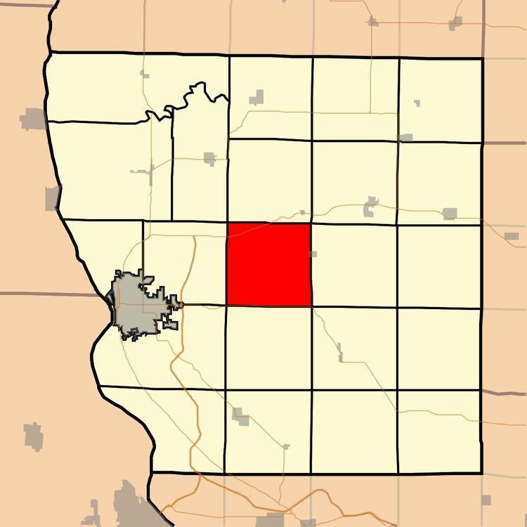
- Map of Gilmer Township IL USA
- Geography
- Cities
- Unincorporated towns
- Cemeteries
- Major highways
- Airports and landing strips
- School districts
- Political districts
- References
Map of Gilmer Township, IL, USA
Geography
According to the 2010 census, the township has a total area of 37.12 square miles (96.1 km2), of which 37.06 square miles (96.0 km2) (or 99.84%) is land and 0.07 square miles (0.18 km2) (or 0.19%) is water.
Cities
Unincorporated towns
Cemeteries
The township contains five cemeteries: Evergreen, Mount Pleasant, Paloma, Saint Joseph and Stahl.
Major highways
Airports and landing strips
School districts
Political districts
References
Gilmer Township, Adams County, Illinois Wikipedia(Text) CC BY-SA