
Population Uninhabited | Length 37 km (23 mi) | |
 | ||
Gillock Island is an ice-covered island, 37 kilometres (20 nmi) long and 3.7 to 11.1 kilometres (2 to 6 nmi) wide, with numerous rock outcrops exposed along its flanks. It is aligned north-south and lies in the eastern part of Amery Ice Shelf.
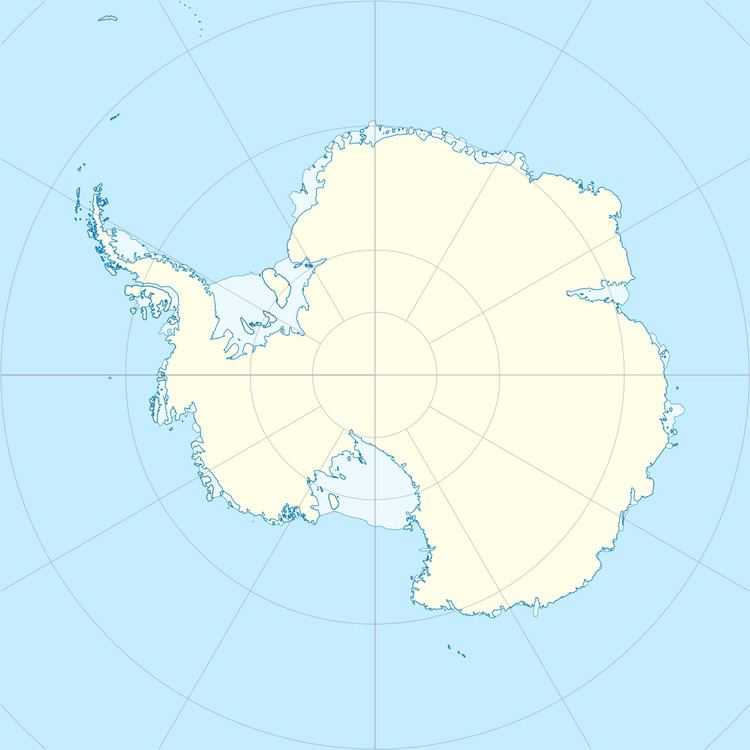
Map of Gillock Island, Antarctica
Delineated in 1952 by John H. Roscoe from air photos taken by U.S. Navy Operation Highjump (1946–47). Named by him for Lieutenant Robert A. Gillock, U.S. Navy, navigator on Operation Highjump photographic flights over this and other coastal areas between 14°E and 164°E.
References
Gillock Island Wikipedia(Text) CC BY-SA