
Country United States FIPS code 29-27028 Elevation 251 m Zip code 65330 Population 198 (2013) | Time zone Central (CST) (UTC-6) GNIS feature ID 0718453 Area 65 ha Local time Monday 7:41 PM Area code 660 | |
 | ||
Weather -1°C, Wind N at 21 km/h, 80% Humidity | ||
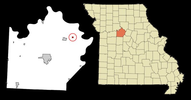
Gilliam is a city in Saline County, Missouri, United States. The population was 197 at the 2010 census.
Contents
Map of Gilliam, MO 65330, USA
History
Gilliam was platted in 1878. The community has the name of a local farmer. A post office called Gilliam has been in operation since 1879.
Geography
Gilliam is located at 39°13′59″N 93°0′14″W (39.233168, -93.003890).
According to the United States Census Bureau, the city has a total area of 0.25 square miles (0.65 km2), all of it land.
2010 census
As of the census of 2010, there were 197 people, 87 households, and 46 families residing in the city. The population density was 788.0 inhabitants per square mile (304.2/km2). There were 101 housing units at an average density of 404.0 per square mile (156.0/km2). The racial makeup of the city was 95.9% White, 3.0% African American, 0.5% Native American, and 0.5% from two or more races. Hispanic or Latino of any race were 0.5% of the population.
There were 87 households of which 28.7% had children under the age of 18 living with them, 39.1% were married couples living together, 9.2% had a female householder with no husband present, 4.6% had a male householder with no wife present, and 47.1% were non-families. 41.4% of all households were made up of individuals and 11.4% had someone living alone who was 65 years of age or older. The average household size was 2.26 and the average family size was 3.09.
The median age in the city was 34.3 years. 26.4% of residents were under the age of 18; 9.1% were between the ages of 18 and 24; 23.3% were from 25 to 44; 30.6% were from 45 to 64; and 10.7% were 65 years of age or older. The gender makeup of the city was 54.8% male and 45.2% female.
2000 census
As of the census of 2000, there were 229 people, 103 households, and 55 families residing in the town. The population density was 915.0 people per square mile (353.7/km²). There were 118 housing units at an average density of 471.5 per square mile (182.2/km²). The racial makeup of the town was 94.32% White, 3.93% African American, 0.44% Asian, and 1.31% from two or more races.
There were 103 households out of which 26.2% had children under the age of 18 living with them, 36.9% were married couples living together, 13.6% had a female householder with no husband present, and 46.6% were non-families. 40.8% of all households were made up of individuals and 23.3% had someone living alone who was 65 years of age or older. The average household size was 2.22 and the average family size was 3.05.
In the town the population was spread out with 26.6% under the age of 18, 5.7% from 18 to 24, 26.6% from 25 to 44, 17.5% from 45 to 64, and 23.6% who were 65 years of age or older. The median age was 40 years. For every 100 females there were 90.8 males. For every 100 females age 18 and over, there were 86.7 males.
The median income for a household in the town was $27,813, and the median income for a family was $31,250. Males had a median income of $25,938 versus $13,864 for females. The per capita income for the town was $12,120. About 16.7% of families and 17.3% of the population were below the poverty line, including 23.5% of those under the age of eighteen and 15.9% of those sixty five or over.