
Country United States County Yavapai Abandoned 1880 Elevation 559 m | State Arizona Founded 1878 Time zone MST (no DST) (UTC-7) Population 0 (2009) | |
 | ||
Weather 31°C, Wind S at 10 km/h, 16% Humidity | ||
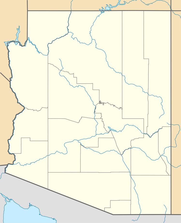
Gillette, Arizona, is a populated place situated in Maricopa County, Arizona. It has an estimated elevation of 1,362 feet (415 m) above sea level. Historically, it was a stagecoach station, and then a settlement formed around an ore mill serving the Tip Top Mine, on the Agua Fria River in Yavapai County in what was then Arizona Territory. It was named for the mining developer of the Tip Top Mine, spelled incorrectly as Gillette on U. S. Topographic Maps and elsewhere.
Gillette was founded by the superintendent of the Tip Top Mine, where he located the mill to process the ore from Tip Top, 9 miles away. Its post office opened October 15, 1878. At its height in 1878 Gillett, had 6 streets and aside from its mill and post office, a bank, assay office, hotel, real estate office, livery stable, lumberyard, meat market, truck farm, dairy, warehouse, 2 blacksmiths, 2 stagecoach stations, 4 stores and 9 saloons or gambling houses.
After the mill was closed in 1880, and moved to Tip Top in 1884, the town was soon abandoned. It remained with a store and a stagecoach station in 1880 with a population of two. Its post office had postmasters appointed up to October 1883, but it was discontinued in August 1887. The stage station remained until 1912, then was abandoned. The Burfind Hotel was the largest structure in Gillett and ruins of it and a neglected cemetery remain. Currently, it is still designated as a populated place as per the U.S. Geological Survey and the U.S. Census Bureau.