
FIPS code 19-30810 Elevation 398 m Zip code 51341 Population 49 (2013) | Time zone Central (CST) (UTC-6) GNIS feature ID 0465642 Area 49 ha Local time Monday 7:33 PM Area code 712 | |
 | ||
Weather -9°C, Wind N at 16 km/h, 78% Humidity | ||
Gillett Grove is a city in Clay County, Iowa, United States. The population was 49 in the 2010 census, a decline from 55 in the 2000 census.
Contents
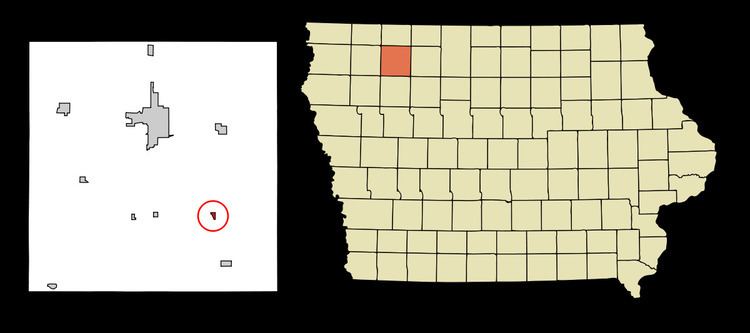
Map of Gillett Grove, IA, USA
History
Gillett Grove was laid out in 1899 when the railroad was extended to that point. The city was named for brothers George and Isaiah Gillett, pioneer settlers.
Geography
Gillett Grove's longitude and latitude coordinates
in decimal form are 43.014514, -95.036576.
According to the United States Census Bureau, the city has a total area of 0.19 square miles (0.49 km2), all of it land.
2010 census
As of the census of 2010, there were 49 people, 24 households, and 12 families residing in the city. The population density was 257.9 inhabitants per square mile (99.6/km2). There were 30 housing units at an average density of 157.9 per square mile (61.0/km2). The racial makeup of the city was 98.0% White and 2.0% from two or more races.
There were 24 households of which 20.8% had children under the age of 18 living with them, 25.0% were married couples living together, 16.7% had a female householder with no husband present, 8.3% had a male householder with no wife present, and 50.0% were non-families. 41.7% of all households were made up of individuals and 12.5% had someone living alone who was 65 years of age or older. The average household size was 2.04 and the average family size was 2.75.
The median age in the city was 43.3 years. 20.4% of residents were under the age of 18; 12.3% were between the ages of 18 and 24; 20.3% were from 25 to 44; 26.6% were from 45 to 64; and 20.4% were 65 years of age or older. The gender makeup of the city was 51.0% male and 49.0% female.
2000 census
As of the census of 2000, there were 55 people, 28 households, and 19 families residing in the city. The population density was 291.6 people per square mile (111.8/km²). There were 30 housing units at an average density of 159.1 per square mile (61.0/km²). The racial makeup of the city was 98.18% White, and 1.82% from two or more races.
There were 28 households out of which 32.1% had children under the age of 18 living with them, 46.4% were married couples living together, 10.7% had a female householder with no husband present, and 32.1% were non-families. 32.1% of all households were made up of individuals and 10.7% had someone living alone who was 65 years of age or older. The average household size was 1.96 and the average family size was 2.21.
In the city, the population was spread out with 18.2% under the age of 18, 10.9% from 18 to 24, 21.8% from 25 to 44, 25.5% from 45 to 64, and 23.6% who were 65 years of age or older. The median age was 44 years. For every 100 females there were 89.7 males. For every 100 females age 18 and over, there were 87.5 males.
The median income for a household in the city was $21,429, and the median income for a family was $17,292. Males had a median income of $18,750 versus $21,250 for females. The per capita income for the city was $12,337. There were 13.3% of families and 28.3% of the population living below the poverty line, including 18.2% of under eighteens and none of those over 64.