Population 2,277 (2006 census) Postal code 6083 Federal division Division of Pearce | Postcode(s) 6083 Area 333.5 km² Local time Tuesday 4:09 AM | |
 | ||
Weather 16°C, Wind N at 13 km/h, 87% Humidity | ||
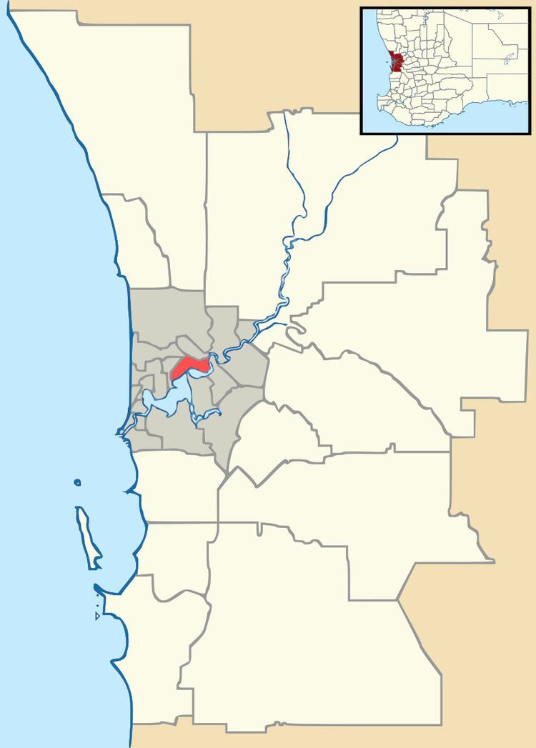
Gidgegannup is a township 40 kilometres (25 mi) northeast of Perth, the capital city of Western Australia. The name Gidgegannup comes from a Noongar word meaning "Place where spears are made", and was first recorded by passing surveyors in 1852.
Map of Gidgegannup WA 6083, Australia
The townsite is situated on Toodyay Road. The locality is drained by the north flowing Wooroloo and Gidgegannup Brooks. Due to low density development, considerable amounts of natural vegetation remain in the area - and the roads to the north of Toodyay road (O'Brien, Clenton and Berry, and Reen Roads) have been designated Wildflower Scenic Drive.
The Gidgegannup Agricultural Society has had over 60 shows at the Gidgegannup showgrounds.
References
Gidgegannup, Western Australia Wikipedia(Text) CC BY-SA
