
Population 475 (2006 census) Postcode(s) 6448 State electorate(s) Eyre Founded 1921 Local time Tuesday 3:46 AM | Established 1921 Elevation 218 m Postal code 6448 Number of airports 1 | |
 | ||
Weather 16°C, Wind NW at 10 km/h, 95% Humidity | ||
Gibson is a small town in southeastern Western Australia, about 22 kilometres (14 mi) north of Esperance. At the 2006 census, Gibson had a population of 475.
Contents
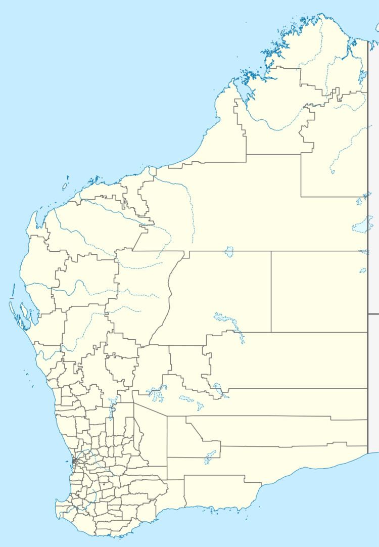
Map of Gibson WA 6448, Australia
History
The population of the area was 16 (7 males and 9 females) in 1898.
Gibson was originally proposed in about 1910 as a siding on the Esperance Branch Railway due to a reliable water source in the area, named by surveyor A. W. Canning after a man who discovered the soak whilst searching for stock.. The railway itself was not completed until 1925, but the townsite was gazetted on 19 October 1921.
Transport
It is served by a station on the Westnet railway network, and is also the site of the Esperance Airport. In 2009, a 1,800 metres (5,900 ft) long crossing called by this name but located slightly away from the town was built.