
Elevation 2,117 m | ||
 | ||
Similar Rocky Mountains, Lost Trail Pass, Nez Perce Pass, Chief Joseph Pass, Lemhi Pass | ||
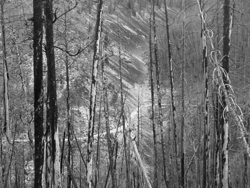
Gibbons Pass (el. 2117 m./6945 ft.) is a high mountain pass in the Rocky Mountains in Montana. It is situated on the North American Continental Divide. It was used by the Lewis and Clark Expedition on their return trip. Gibbons Pass is also one of the most historic passes in Montana. Its highest point is 6,945 feet above sea level. The conflict with the Nez Perce Indians by Captain Gibbons began here. The pass was the main route for Indians, explorers, hunters and other traffic prior to the construction of US Highway 93.
Map of Gibbons Pass, Montana 59871, USA
References
Gibbons Pass Wikipedia(Text) CC BY-SA