Airport type Public 08/26 5,577 Address 格里斯, Algeria Code MUW | Elevation AMSL 1,686 ft / 514 m 5,577 1,700 Elevation 1,686 m Phone +213 45 81 91 92 | |
 | ||
Similar دائرة غريس, Palms Hôtel, Jardin Pasteur, University Mustafa Stmboli | ||
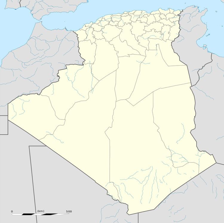
Ghriss Airport (IATA: MUW, ICAO: DAOV) is a civilian airport in Mascara Province, Algeria, located 5.0 km southwest of the town of Ghriss, Algeria.
World War II
During World War II, the facility was known as "Thiersville Airfield". It was a Twelfth Air Force base of operations during the North African Campaign used by the 60th Troop Carrier Group, which flew C-47 Skytrain transports from the airfield between May and June 1943.
References
Ghriss Airport Wikipedia(Text) CC BY-SA
