
Major cities: Weyburn Major city Weyburn | Length 676 km | |
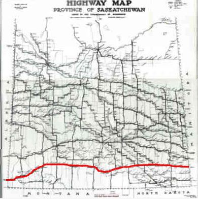 | ||
West end: Alberta bordercontinues west as Hwy 501 East end: Manitoba border near Antlercontinues east as PTH 2 | ||
Ghost Town Trail, Saskatchewan is a stretch of highway located in the Palliser's Triangle region of the province of Saskatchewan, Canada. The trail coincides with Saskatchewan Highway 13 (Hwy 13) between Wauchope, Saskatchewan and Govenlock, Saskatchewan. Along this highway are 32 various "ghost towns". The nearest large communities are Swift Current and Maple Creek, Saskatchewan both located on the Trans Canada Highway which runs parallel and to the north of Hwy 13.
As a side note, near this ghost town trail are other ghost towns in the neighbouring vicinity. For example, the Rural Municipality of Griffin No. 66 also contains the localities, Brough, Huntoon, Innes. Similarly Key West No. 70 also was home to the localities of Bures, Dahinda, Edgeworth, Kayville, Key West, Querrin and Wheatstone near Glasnevin. Neighbouring localities to Valor are Ardwick, Bexhill, Congress, Lakenheath, Lynthorpe, Maxstone, Ogle, Stonehenge in Stonehenge No. 73