
Country India Headquarters Ghaziabad, India Major highways NH58, NH24, NH91 Area 1,273 km² Tehsil 3 | State Uttar Pradesh Tehsils 3 Website Official website Literacy 85% Administrative division Meerut division | |
 | ||
Lok sabha constituencies Meerut, Ghaziabad, Uttar Pradesh Points of interest Drizzling Land Water and Amu, Dudheshwar nath Mandir - G, Dr Ram Manohar Lohia Park, Durga Temple, Swarna Jayanti Park Colleges and Universities Institute of Management Technolo, Raj Kumar Goel Institute o, Ajay Kumar Garg Engineeri, ABES Engineering College, IMS Engineering College | ||
Ghaziabad district ([ɣaːziːaːˈbaːd̪ ˈzɪlaː]) is a largely suburban district of Uttar Pradesh state in northern India of National Capital Region. The town of Ghaziabad is the administrative headquarters of the district. This district is part of Meerut Division. It has become a major bedroom community for Delhi.
Contents
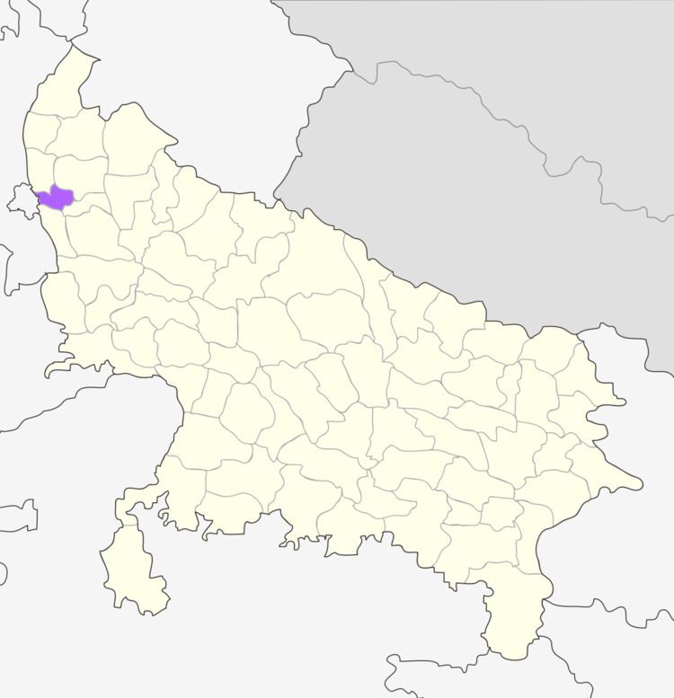
Map of Ghaziabad, Uttar Pradesh
History
Ghaziabad District was once part of Meerut District, but split off forming the district with an area of 2550 km2, and again Gautam Buddha Nagar District was split off as well, reducing it to 1933.3 km2. In Sept 2011 2 tehsils split off and formed Hapur District. The revised area is 1273 km2 and revised population is 3,323,241.
Geography
Ghaziabad district is bounded on the northwest by Baghpat District, on the north by Meerut District, on the east by Hapur District, on the southeast by Bulandshahr District, on the southwest by Gautam Buddha Nagar District, and on the west by Delhi state across the Yamuna River.
Demographics
According to the 2011 Census, it is the third most populous district of Uttar Pradesh (out of 75), after Allahabad and Moradabad.
According to the 2011 census of Ghaziabad district, it has a population of 4,661,452, roughly equal to the nation of Ireland or the US state of South Carolina. This gives it a ranking of 28th highest in India (out of a total of 640). The district has a population density of 3,967 inhabitants per square kilometre (10,270/sq mi). Its population growth rate over the decade 2001–2011 was 41.66%. Ghaziabad has a sex ratio of 878 females for every 1000 males, and a literacy rate of 85%.
At the 2011 census, this district had a population of 4,661,452 (3rd highest in UP), with 2,481,803 males and 2,179,649 females. It contributes 2.33% of the total population of UP. It has highest density of population in UP with 4060 persons per square km. It is second in population growth rate with 40.66%. The average literacy rate in 2011 was 85%, which is the highest in UP. This is revised to 3,323,241 after the split of Hapur district.
In Media field, many media companies are working in this district but some are most readable newspapers & news website here as: Amar Ujala - Ghaziabad , Dainik Jagran , Dainik Bhaskar