 | ||
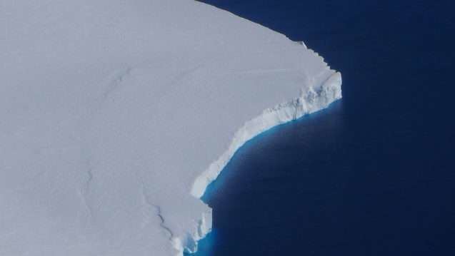
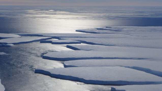
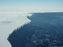
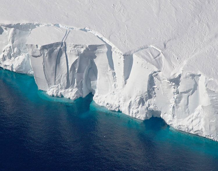
The Getz Ice Shelf is an Antarctic ice shelf, over 300 miles (500 km) long and from 20 to 60 miles (30 to 100 km) wide, bordering the Hobbs and Bakutis Coasts of Marie Byrd Land between the McDonald Heights and Martin Peninsula. Several large islands are partially or wholly embedded in the ice shelf.
The ice shelf westward of Siple Island was discovered by the United States Antarctic Service (USAS) in December 1940. The portion eastward of Siple Island was first delineated from air photos taken by U.S. Navy Operation Highjump, 1946–47. The entire feature was mapped by the United States Geological Survey from U.S. Navy air photos of 1962–65. It was named by the USAS (1939–41) for George F. Getz of Chicago, Illinois, who helped furnish the seaplane for the expedition.