
Country Armenia Area 21.76 km² Population 182 (2011) | Time zone (UTC+4) Local time Monday 12:26 PM Marz province Syunik Province | |
 | ||
Weather 4°C, Wind SW at 5 km/h, 74% Humidity | ||
Getatagh (Armenian: Գետաթաղ, also Romanized as Getat’agh, Getatakh, and Getatag) is a village and rural community (municipality) in the Syunik Province of Armenia. The town's church, Saint Astvatsatsin, dates from 1702. The National Statistical Service of the Republic of Armenia (ARMSTAT) reported its population as 220 in 2010, up from 194 at the 2001 census.
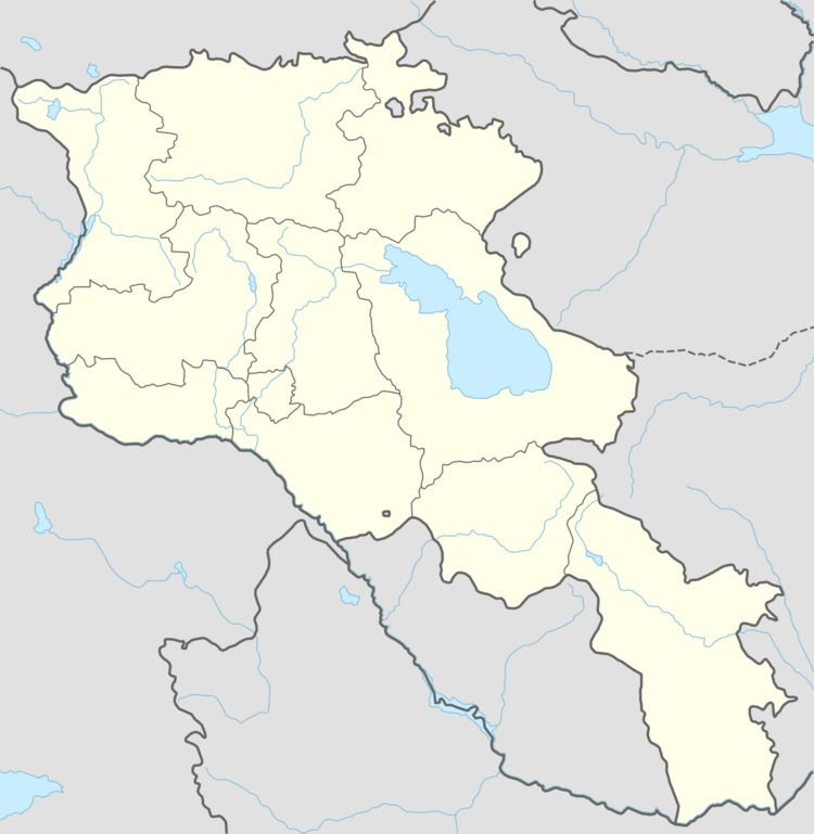
Map of Getatagh 3510, Armenia
References
Getatagh Wikipedia(Text) CC BY-SA