Time zone MST (no DST) (UTC-7) Area 3.43 km² Local time Sunday 9:39 PM | Elevation 5,334 ft (1,626 m) FIPS code 04-26780 Population 60 (2010) Area code 928 | |
 | ||
Weather 11°C, Wind N at 5 km/h, 50% Humidity | ||
Geronimo Estates is both a census-designated place (CDP) and a populated place in Gila County, Arizona, United States. The population of the CDP was 60 at the 2010 census.
Contents
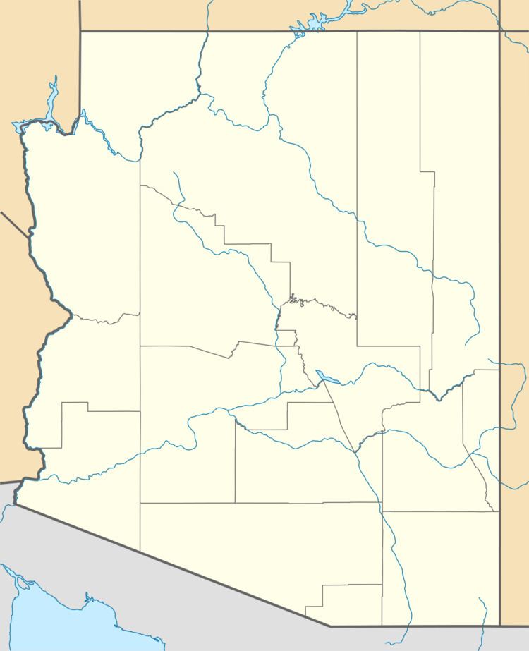
Map of Geronimo Estates, AZ 85541, USA
Geography
Geronimo Estates CDP is located in northern Gila County in the valley of Webber Creek, 12 miles (19 km) north of Payson via Paint Pony Drive. It is within Tonto National Forest, 3 miles (5 km) south of the Mogollon Rim. According to the United States Census Bureau, the CDP has a total area of 1.32 square miles (3.42 km2), all of it land. Via Webber Creek, it is in the watershed of the East Verde River. The populated place of the same name is located nearby, at 34°22′01″N 111°21′31″W
References
Geronimo Estates, Arizona Wikipedia(Text) CC BY-SA
