
Country United States Time zone Mountain (MST) (UTC-7) Local time Sunday 9:40 PM | Elevation 2,723 ft (830 m) FIPS code 04-26770 Area code 928 | |
 | ||
Weather 19°C, Wind NW at 10 km/h, 25% Humidity | ||
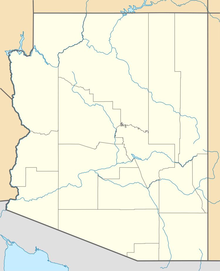
Geronimo is a populated place located on Highway 70 between Bylas and Fort Thomas west of Safford in Graham County, Arizona. Geronimo lies at an elevation of 2,723 feet (830 m).
Contents
Map of Geronimo, Arizona 85536, USA
History
Geronimo was named after the famous Apache chief Goyaalé, better known as Geronimo. Camp Thomas, the U. S. Cavalry began its management of the Apache Indian Reservation along the Gila River, was originally located here in 1876. The camp was later moved east to what is now Fort Thomas. Geronimo was once a stop on the Arizona Eastern Railway and had an operating US Post Office from April 30, 1896 until May 31, 1956.
References
Geronimo, Arizona Wikipedia(Text) CC BY-SA