
- elevation 1.900 m (6 ft) | ||
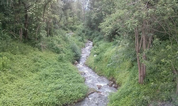 | ||
The Geroldsbach creek originates southern of Götzens on 1.900 m Sea Level. It is compound of 5 fan-like source waters. First it flows through the village and changes there its direction Northeast and passes through the district New-„Götzens“. It flows further down the Wilten Mount and merges at Sieglanger in Innsbruck with the Inn River. The creek has a length of 8 kilometres whereof 3.9 lies on Innsbruck city area.
Map of 91336 Heroldsbach, Germany
The creek provides four water reservoirs for the region „Götzens“ and two in Wilten with drinking water, which is strongly used for supplying the penitentiary Innsbruck and Sieglanger. As a matter of fact the lower course has less water. However, the whole course keeps Grade A quality.
At high water or heavy rain the small stream became a danger so had to be straightened sporadically near living areas.