
Admin. region Unterfranken Municipal assoc. Bad Brückenau Area 16.79 km² Postal code 97779 | Elevation 442 m (1,450 ft) Local time Monday 5:27 AM Population 935 (31 Dec 2008) | |
 | ||
Weather -3°C, Wind N at 10 km/h, 85% Humidity | ||
Geroda is a municipality in the district of Bad Kissingen in Bavaria in Germany.
Contents
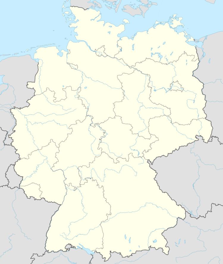
Map of Geroda, Germany
Geroda is located in the nature park Bayerische Rhön, in the Thulba valley, on the southern side of the so-called Schwarze Berge ("black mountains").
Divisions of the municipality
The municipality consists of the following towns:
History
The name Geroda comes from the Middle High German Ger, meaning speer, and Rod (modern German Rodung) and describes a wedge-shaped clearing.
The first church in the area was built in the 12th century. The town was divided between the Bishop of Fulda and the Bibra family. Because it lay on a major commercial route, it was repeatedly plundered during the 30-Years' War.
Government
The municipal council has 13 members, including the mayor. Of those members, 10 belonged to the Freie Wälergemeinschaft, and 3 were independent as of 2002.
Coat of arms
At the bottom, a black Templar's cross on a silver background, in the upper left, three blue rings on a diagonal silver bar against a blue background, and in the upper right, a curved silver fish on a red background.