
Country United States ZIP code 27019 Area 4.59 km² Local time Sunday 10:44 PM | Time zone Eastern (EST) (UTC-5) FIPS code 37-25880 Population 827 (2010) | |
 | ||
Weather 3°C, Wind W at 2 km/h, 45% Humidity | ||
Germanton is an unincorporated community and census-designated place (CDP) in Forsyth and Stokes counties in the U.S. state of North Carolina, primarily in Stokes County. As of the 2010 census it had a population of 827.
Contents
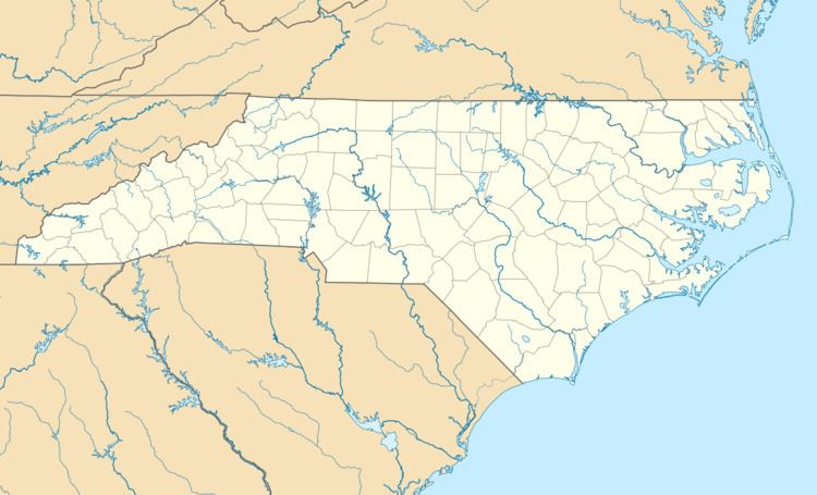
Map of Germanton, NC 27019, USA
It is located 13 miles (21 km) south of the Stokes County seat of Danbury, on North Carolina State Highways 8 and 65 at an altitude of 662 feet (202 m). Downtown Winston-Salem is 13 miles (21 km) to the south. Germanton was the county seat of Stokes County prior to Forsyth County being created from southern Stokes. Before the creation of Forsyth County, Germanton was centrally located within the Stokes County limits.
History
Germanton was established in 1790 and is the oldest community in Stokes County. The town's original 23 acres (93,000 m2) were part of a 700-acre (2.8 km2) tract that was granted to Jacob Lash by the Earl of Granville in 1762. The 23 acres were deeded from brothers Michael and Henry Frey. German was the first language of the Moravian settlers to the area. American Revolutionary War Major Joseph Winston, later a U.S. congressman, was a famous Germanton resident with a plantation nearby.
Coal was mined in the Germanton area but was of low quality.
The Germanton Methodist Church and Cemetery, Leak-Chaffin-Browder House, and St. Philip's Episcopal Church are listed on the National Register of Historic Places.