
Reference no. DE: 5942 Country Germany | ||
 | ||
River mouth Confluence: Near Veerßen (Uelzen) with the Stederau to become the Ilmenauca. 35 m above sea level (NHN) Similar Neetze, Hösseringen Museum Village, Schloss Holdenstedt, Seeve, Uelzen station | ||
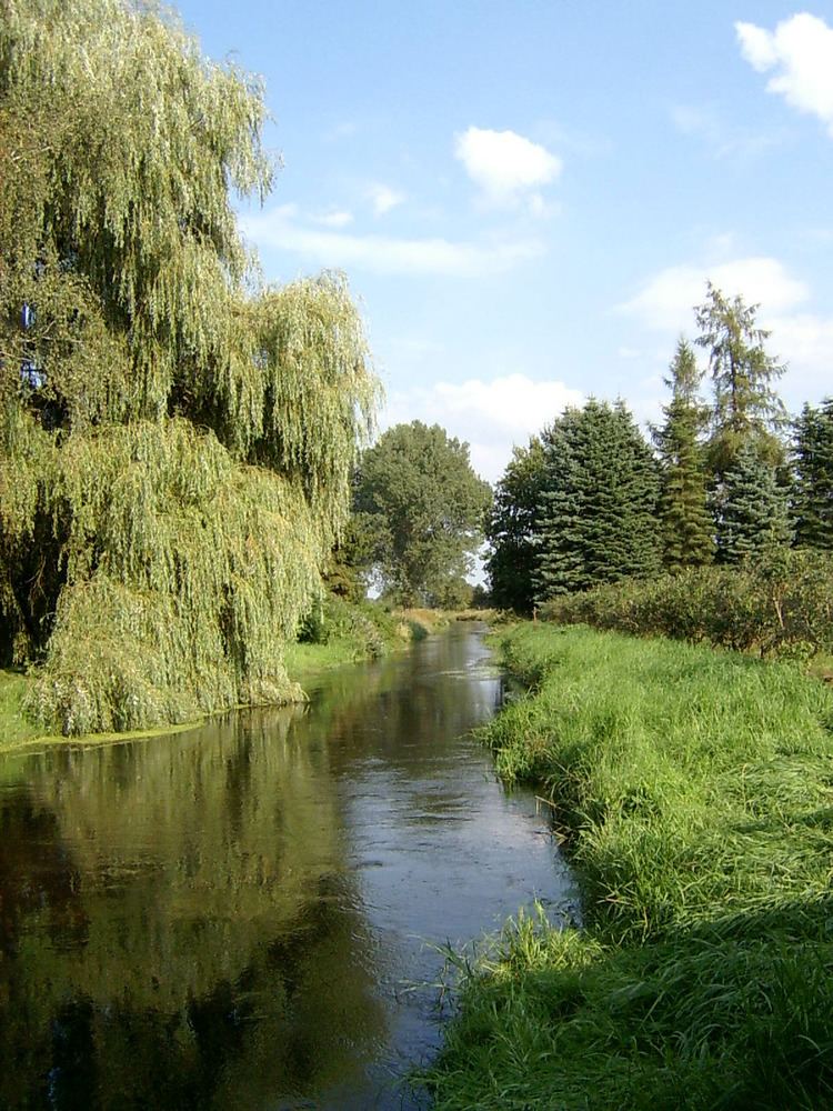
The Gerdau is a 30 km long, left (western) source river for the Ilmenau in the north German state of Lower Saxony.
Map of Gerdau, Germany
The river rises in the eastern part of the Lüneburg Heath on the northeastern edge of the Südheide Nature Park. From its source, which is located in the Brambostel Moor Nature Reserve, north of the 94 m high Faßberg, the Gerdau flows by the villages of Eimke and Gerdau towards Uelzen. South of Uelzen it merges with the Stederau to form the Ilmenau.
References
Gerdau (river) Wikipedia(Text) CC BY-SA